NORSAR Software Suite 2020 is released!
This version introduces functions as DAS VSP seismograms, diving wave attribute maps and updates to the 2D modelling tools.
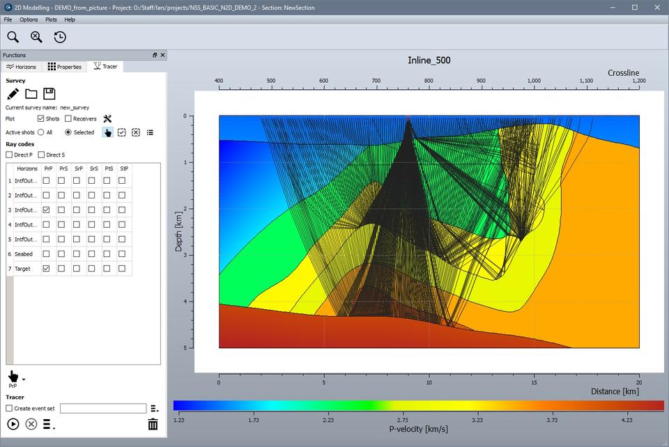
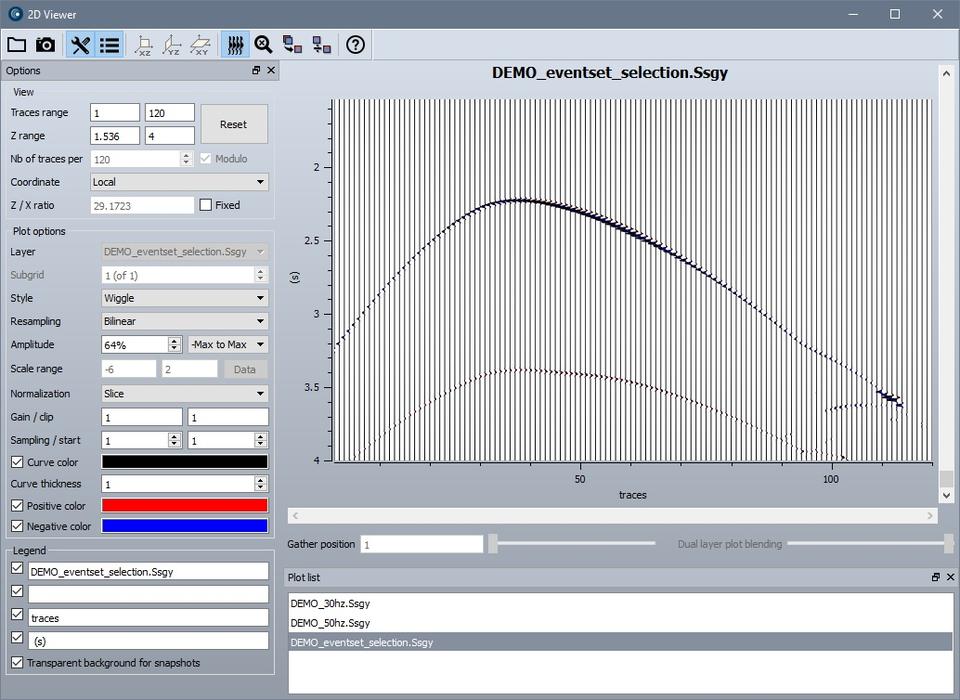
While NORSAR Software Suite 2019 was finishing a first long step towards a full integration of the classic NORSAR-2D ray modelling tool into a user-friendly new framework supporting both Linux and Windows, 2D model building in NORSAR Software Suite 2020 is now supplemented by advanced 2-point ray tracing and seismogram generation.
2D model building and 2D ray tracing are carried out within the same tool and using the same display, allowing for smooth model modifications and modelling updates. 2D models can be displayed in the 3D viewer and expanded into 2.5D models by a single mouse-click, making them accessible for wavefront propagation inside NORSAR-3D. 2D models can be made from scratch or from imported data, as well as from interface picks as stored by an on-board digitizing tool that also reads bitmap images.
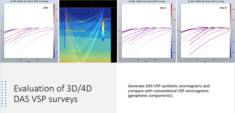
NORSAR-3D is extended with support for fiber-optic cable DAS technology. DAS VSP modelling is a new functionality within VSP modelling. DAS enables VSP acquisition in a broad variety of wells including injection and production wells and it is a new cost-effective technology for seismic imaging and frequent monitoring.

The Illumination maps can be generated both for primary reflections and direct arrivals (or any other wavefield), in both target and survey domain. A filter can be specified in terms of the incident angle to the DAS fiber. Knowing the cable response, the maps can be filtered accordingly.
The 2020 version of NORSAR Software Suite provides synthetics for DAS VSP survey, i.e., taking the incident angle to the cable into account. For a straight fiber-optic cable, the amplitude scaling factor for P wave is cos 2θ while for S waves the amplitude scaling factor is sin 2θ.
Diving wave attribute map
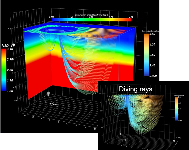
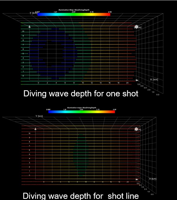
NORSAR Software Suite 2020 provides diving waves attribute maps. Maximum depth of diving waves for any shot-receiver pair can be retrieved from modelling results. These results can be mapped into an Illumination map in Survey domain, using the shot and receiver coordinates.
Triple source survey
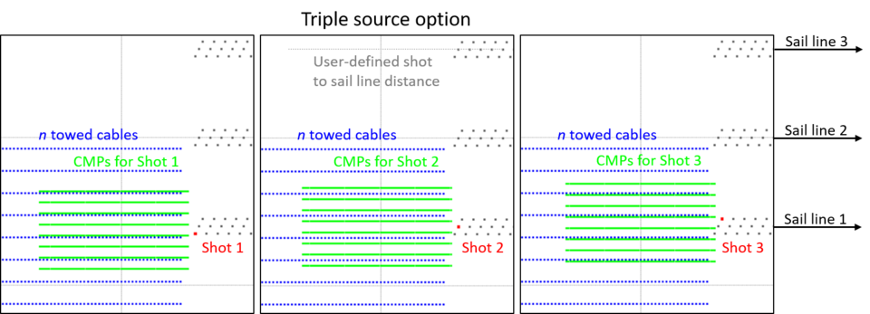
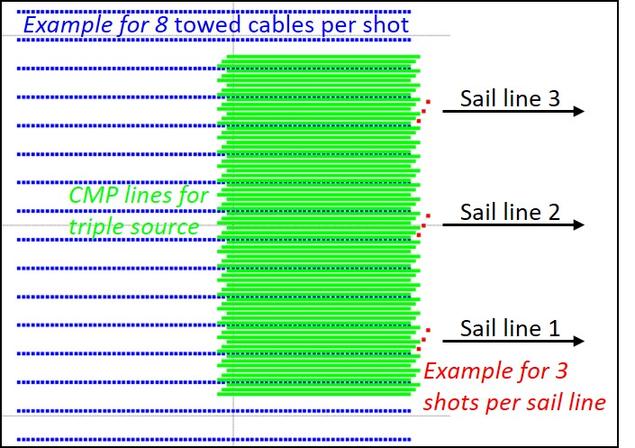
The initial flip-flop shooting option for towed streamer surveys was upgraded to flip-flop-flam shooting, optionally using a triple source.
